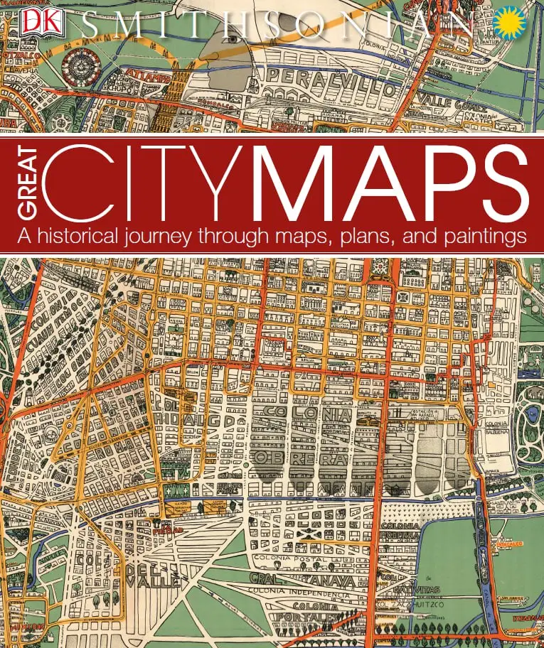
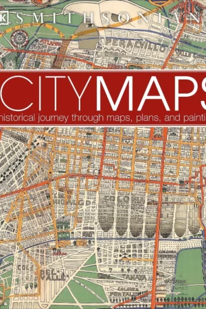


Great City Maps: A Historical Journey Through Maps, Plans, and Paintings
Journey back in time and take a walk through the historic streets of the world’s greatest cities. Great City Maps is the companion title to DK’s Great Maps and takes a focused look at over 70 gorgeously illustrated historical maps and plans of cities around the globe. Dive into the details of each beautiful map and learn about interesting features with visual tours of the maps’ highlights – such as the Old London Bridge of London in 1572 and the orchards of Brooklyn in 1767 New York. Cities are centers of civilization and the way their maps portray them reflects their politics, religion, and culture. See how certain cities, and cartographic techniques, changed over time. More than just a bird’s-eye view, this irresistible book tells the tales behind the cities from the hubs of ancient peoples to modern mega-cities, and profiles the iconic cartographers and artists who created each map. Perfect for history, geography, and cartography enthusiasts and a stunning gift for armchair explorers of all ages, Great City Maps is your window into the world’s most fascinating cities.
Book Overview
This book serves as a comprehensive guide to the evolution of urban landscapes through the lens of cartography. It is a vital resource for anyone interested in the historical significance of city maps, making it a valuable addition to both personal libraries and educational collections.
What You’ll Discover Inside
- Over 70 beautifully illustrated historical maps.
- Insights into the evolution of urban cartography.
- Visual tours highlighting significant features of each map.
- Profiles of iconic cartographers and artists.
- Contextual information about the cities depicted.
- Connections between maps and cultural, political, and religious influences.
- Perfect for both young adults and adult readers.
Why This Book Matters
Great City Maps holds cultural and academic significance as it showcases the intricate relationship between geography and history. Readers benefit from a deeper understanding of how cities have evolved over time, making it an essential read for those interested in urban studies, history, and cartography.
Book Details
| Format | |
|---|---|
| File Size | 199.6 MB |
| Language | English |
| Pages | 258 |
| Publisher | DK Publishing (Dorling Kindersley) |
| Publication Date | September 6, 2016 |
| Edition | Illustrated |
| ISBN-10 | 146545358X |
| ISBN-13 | 978-1465453587 |
| Customer Rating | 4.6 / 5 (334 reviews) |
| Best Sellers Rank | #315,064 in Books |
| Best Sellers Rank (Category) | #52 in United States Atlases & Maps |
Device Compatibility
This digital download is compatible with various devices, including Kindle, tablets, desktops, and mobile reading apps. Enjoy instant access after purchase with no physical shipping required.
FAQ
- Is this an instant download? Yes, you will receive instant access after purchase.
- Is there a physical copy available? No, this is a digital download only.
- What formats are compatible? This book is available in PDF format.
Explore the fascinating world of urban history with Great City Maps. Perfect for anyone interested in the best city maps, this book is a must-have for your digital library.


Reviews
There are no reviews yet.