
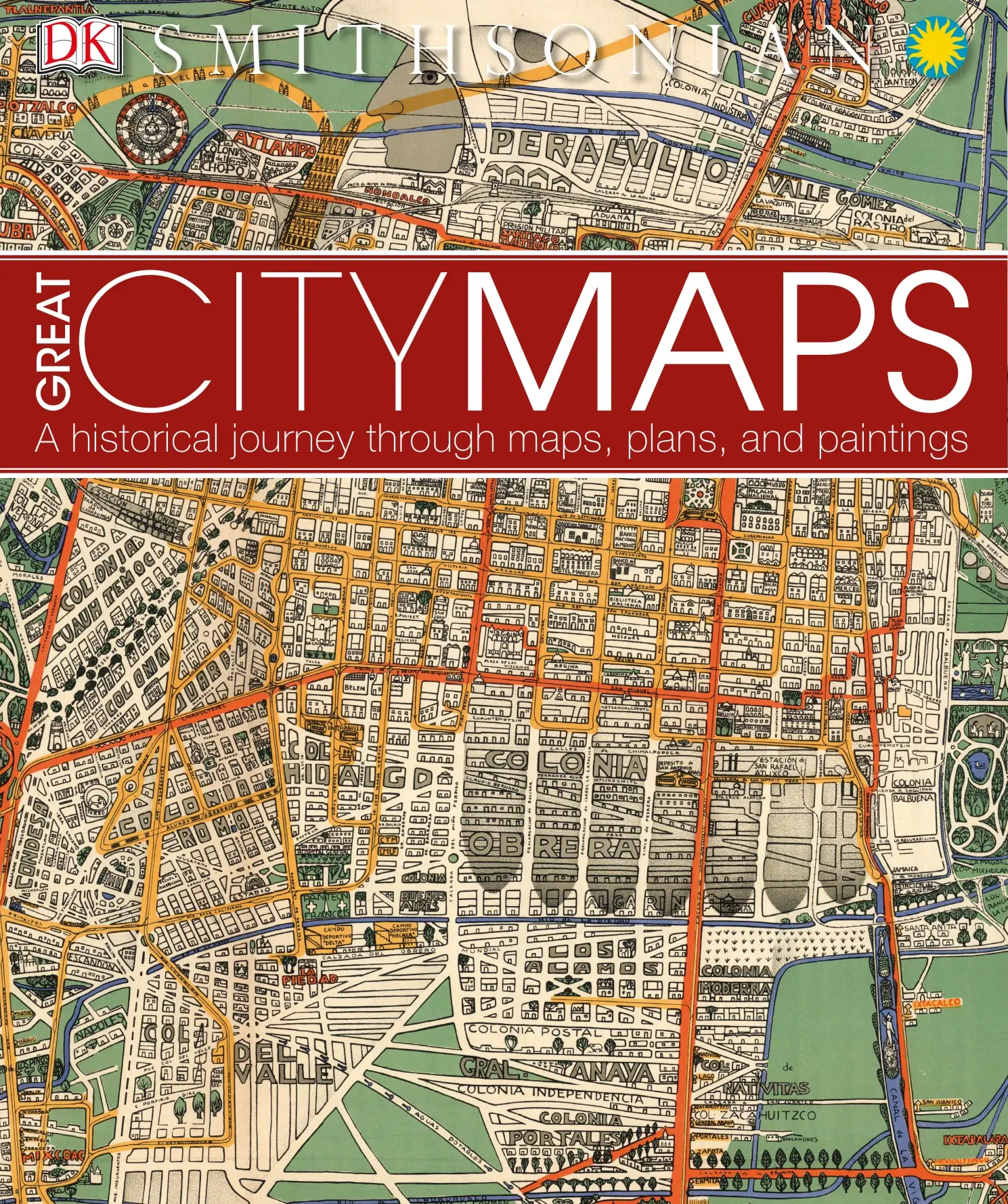
Great City Maps
Original price was: $5.00.$2.50Current price is: $2.50.

DK
Product Specs:
- File Type: PDF
- File Size: 198.7 MB
- Book Language: English
- Total Page Count: 258
- Instant Download
Great City Maps: A Historical Journey Through Maps, Plans, and Paintings
Great City Maps is a digital history of cities told through maps, plans, and paintings. This PDF edition covers 258 pages and is available for instant download.
Published by DK, the book follows urban development from the earliest surviving plans to contemporary views of major cities. It considers how maps record political power, cultural identity, technological change, and the realities of urban life.
The book is an illustrated reference for readers interested in cartography, city history, historical geography, and visual culture.
Book Overview
Great City Maps presents an international selection of urban maps and plans across a broad historical span. Its opening sections introduce the earliest city plans and ancient cities, followed by material on medieval cities and trading centers.
Later sections examine imperial capitals, colonial cities, ideal cities, and megacities. The collection includes historic and contemporary representations of cities such as Beijing, Baghdad, Constantinople, Paris, London, Mexico City, Kyoto, Seoul, Rio de Janeiro, San Francisco, Sydney, and Washington, D.C.
The book shows how city maps can reveal aspirations as well as lived conditions. It also connects urban change with events including the Turkish siege of Vienna and the American War of Independence, alongside the spread of railroads, the introduction of the steamship, and the development of trans-global flight.
What You’ll Discover Inside
- The earliest known city plans, including Çatal Hüyük and Mesopotamian mapping.
- Ancient and medieval views of cities including Rome, Jerusalem, Bianjing, and Constantinople.
- Trading centers such as London, Amsterdam, Ghent, Marseille, Frankfurt, and Lisbon.
- Maps of imperial capitals including Madrid, Kyoto, Berlin, Moscow, Prague, and St. Petersburg.
- Colonial and developing cities including Tenochtitlan, Santo Domingo, Cape Town, Quebec, and Sydney.
- Ideal cities and modern megacities, including Paris, New York, Shanghai, Cairo, and Tokyo.
- Maps, plans, and paintings that document changes in urban form, technology, and society.
Why Great City Maps Matters
City maps preserve evidence of how people imagined, organized, and transformed important places. They show urban centers as political, economic, religious, and cultural environments rather than as simple geographic locations.
By bringing together historic and contemporary representations, Great City Maps supports the study of cartography and urban history through visual evidence. It also offers a broad record of human development and changing city life.
Book Details
| Title | Great City Maps |
|---|---|
| Subtitle | A Historical Journey Through Maps, Plans, and Paintings |
| Author | DK |
| Publisher | DK Publishing |
| Imprint Location | 345 Hudson Street, New York, New York 10014 |
| Publication Date | 2016 |
| Edition | First American Edition, 2016 |
| Copyright | Copyright © 2016 Dorling Kindersley Limited |
| ISBN-13 | 978-1-4654-5358-7 |
| Catalog Identifier | 001–288647–Sept/2016 |
| Pages | 258 |
| Format | |
| File Type | |
| File Size | 198.7 MB |
| File Size Bytes | 208312639 |
| Language | English |
| Printing and Binding | Printed and bound in China |
| General Consultant | Professor Jeremy Black |
| Smithsonian Affiliation | Smithsonian Enterprises |
Device Compatibility
This is a digital download, so no physical copy will be shipped. Access is available after purchase through the download provided by the marketplace.
The PDF works with appropriate Kindle apps, tablets, desktop computers, mobile devices, and compatible reading apps. Display quality may vary by device and application.
FAQ
When can I access Great City Maps?
Access is available after purchase, with instant download of the digital PDF file.
Will I receive a physical book?
No. This listing provides a digital download only, with no physical shipping.
Which devices support the PDF?
The file can be opened with compatible Kindle apps, tablets, desktop computers, mobile devices, and PDF reading apps.
Download Great City Maps for a focused visual reference on the history of cities, maps, and urban development.
User Reviews
Only logged in customers who have purchased this product may leave a review.

The Science of the Ocean: The Secrets of the Seas Revealed
Sold by DK

Train: The Definitive Visual History
Sold by DK
Aircraft: The Definitive Visual History
Sold by DK
Birds of North America Eastern Region
Sold by DK
The Science of the Ocean: The Secrets of the Sea Revealed
Sold by DK Original price was: $5.00.$2.50Current price is: $2.50.






There are no reviews yet.